Log in
All resources
Create a design
41,525 Free Images of 1892 Maps
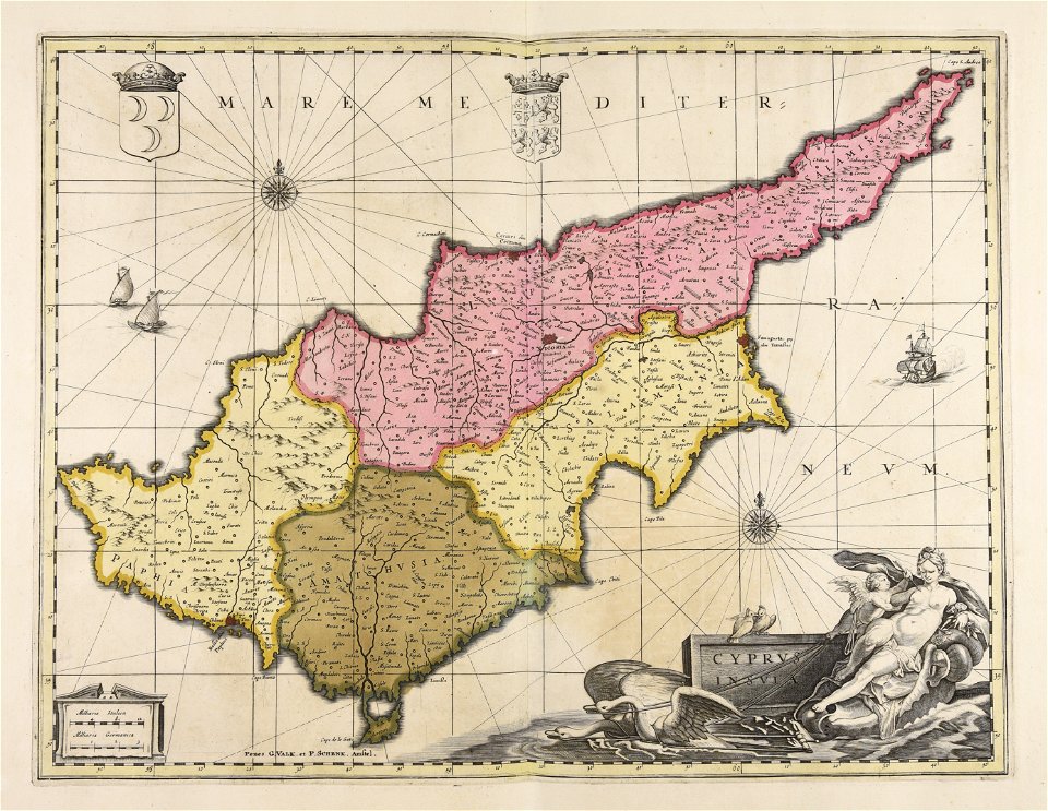
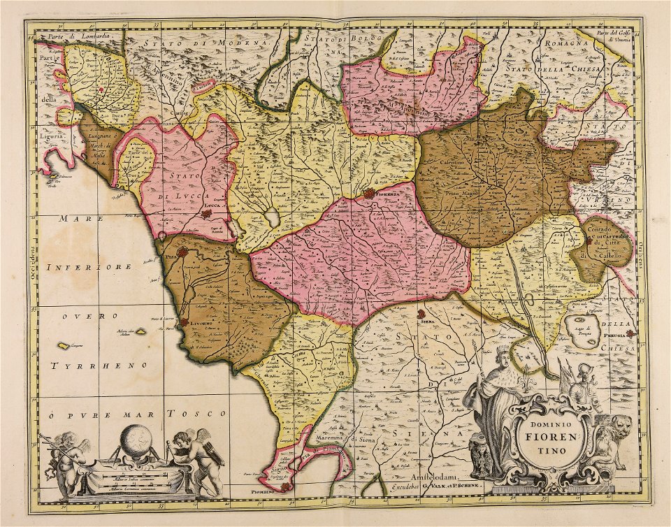
maps made in the 17th century
maps by pieter schenk (i)
gerard valck
atlantis magni tomus tertius (biblioteca comunale di trento)
atlantis magni tomus secundus (biblioteca comunale di trento)
fonds ancely - bibliothèque municipale de toulouse - maps
victor levasseur - maps of france
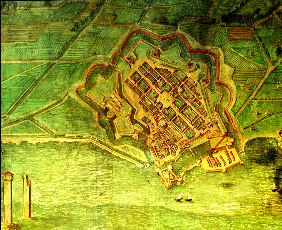
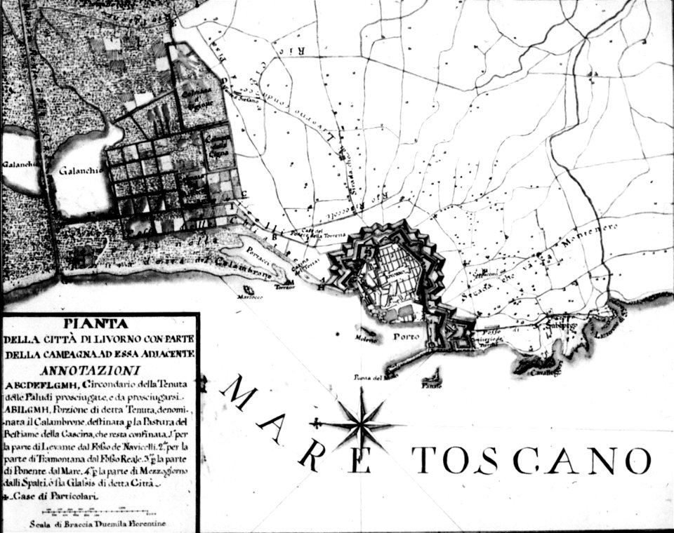
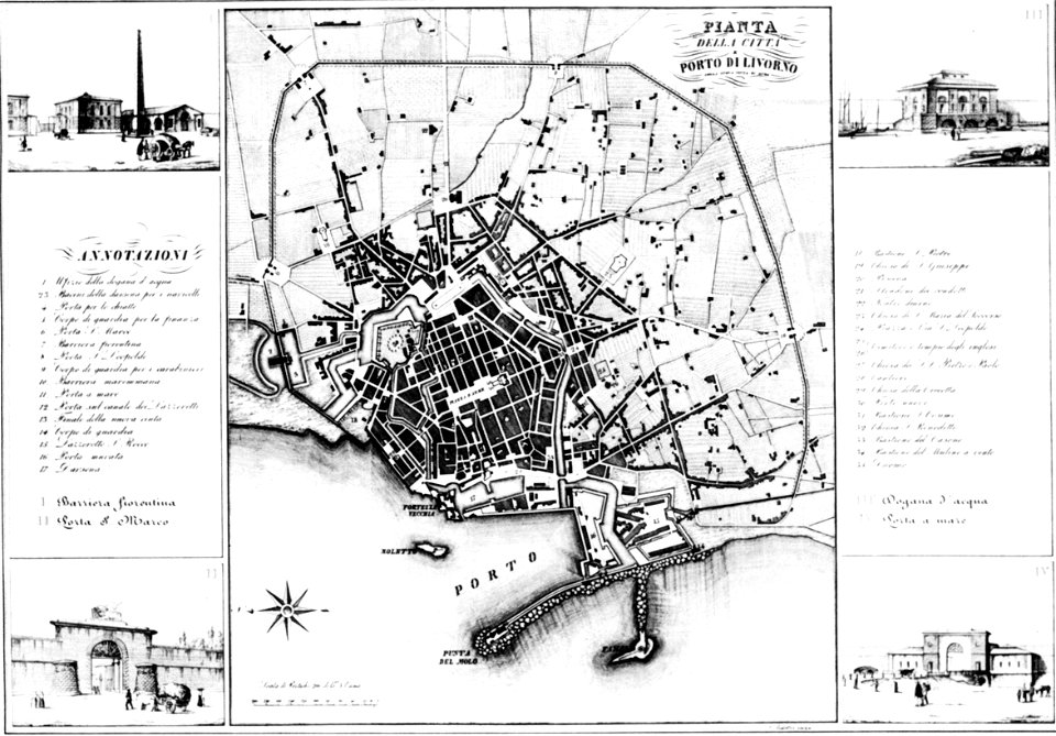
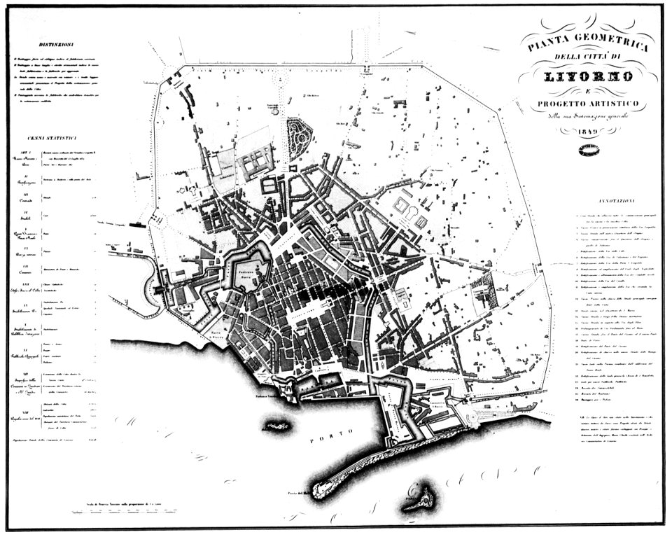
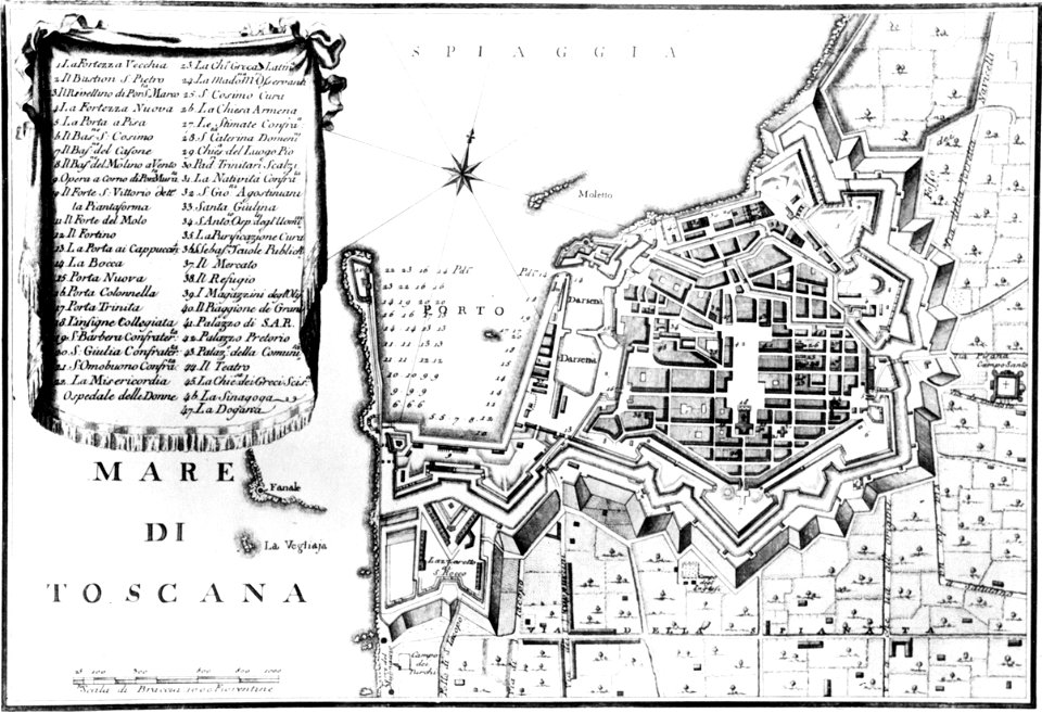
old maps of livorno
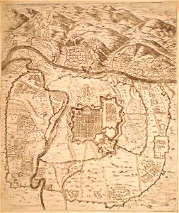
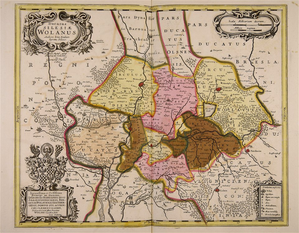
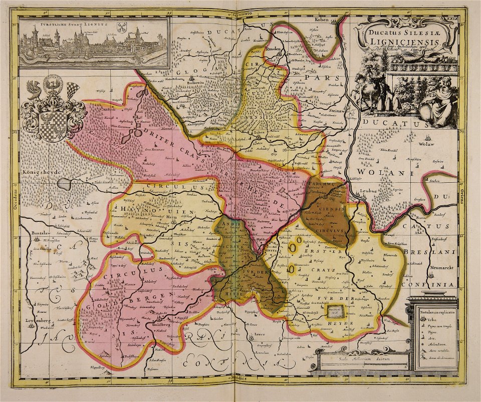
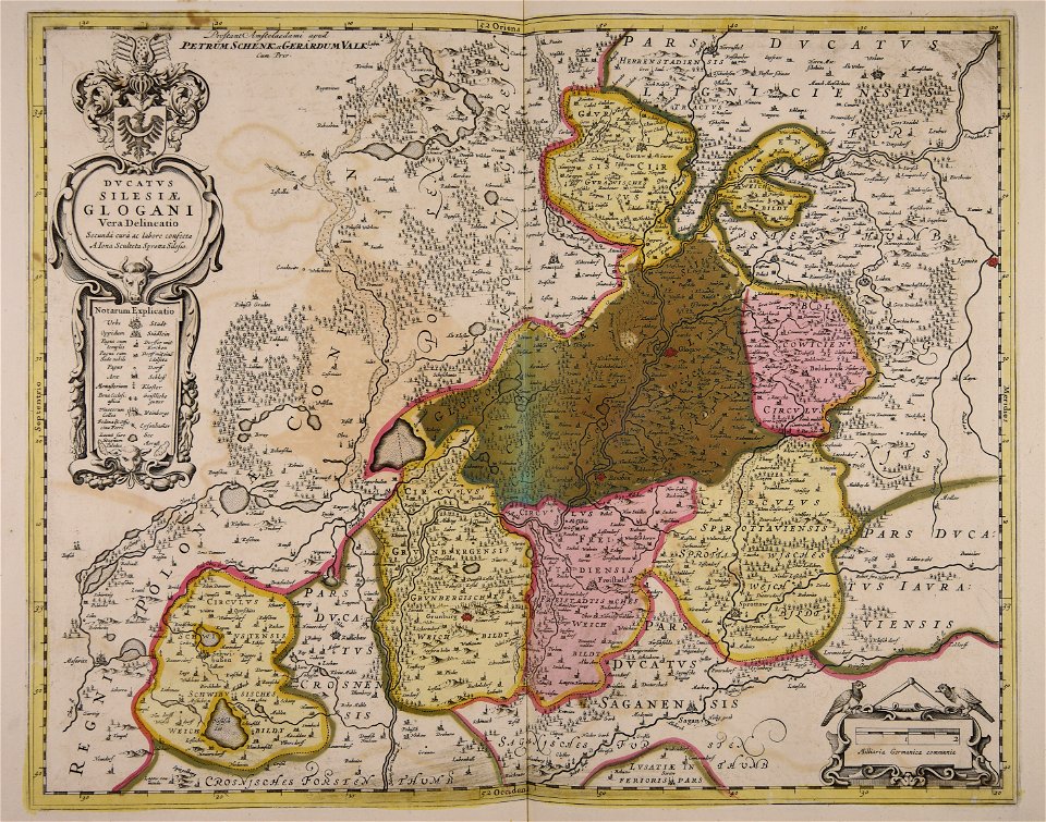
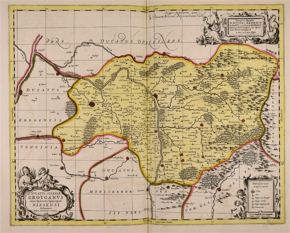
old maps of silesia
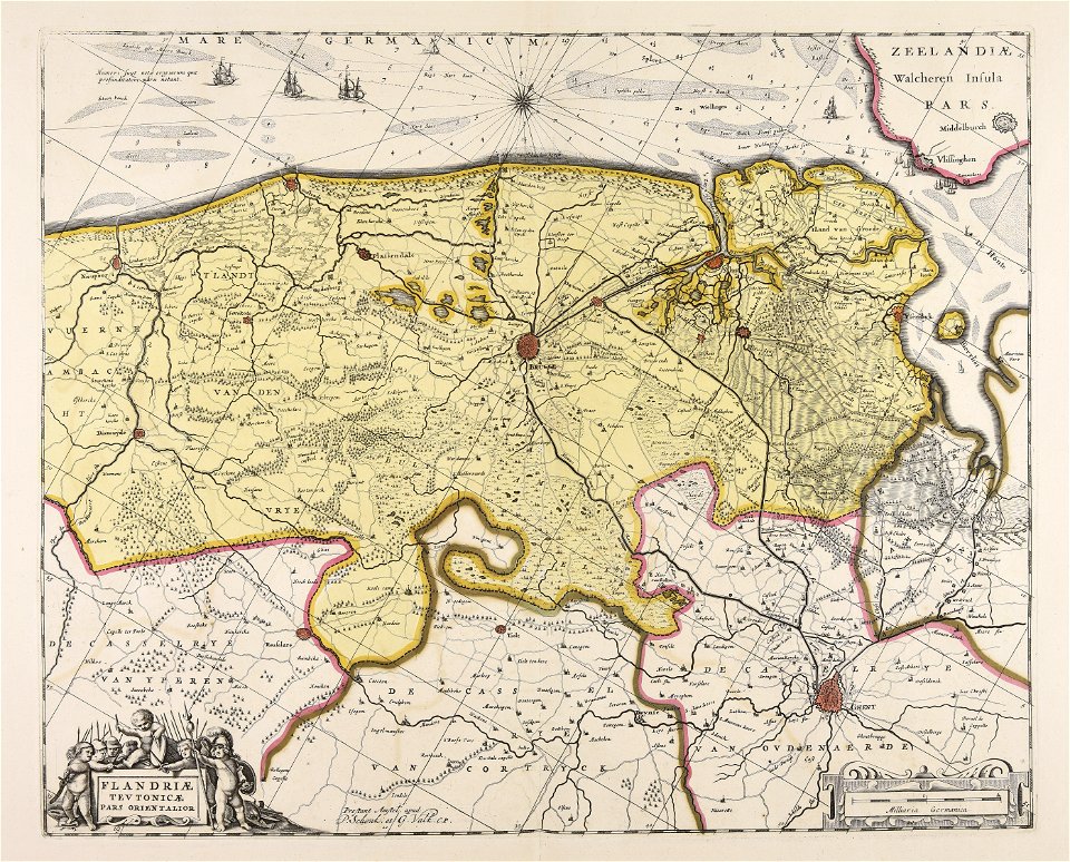
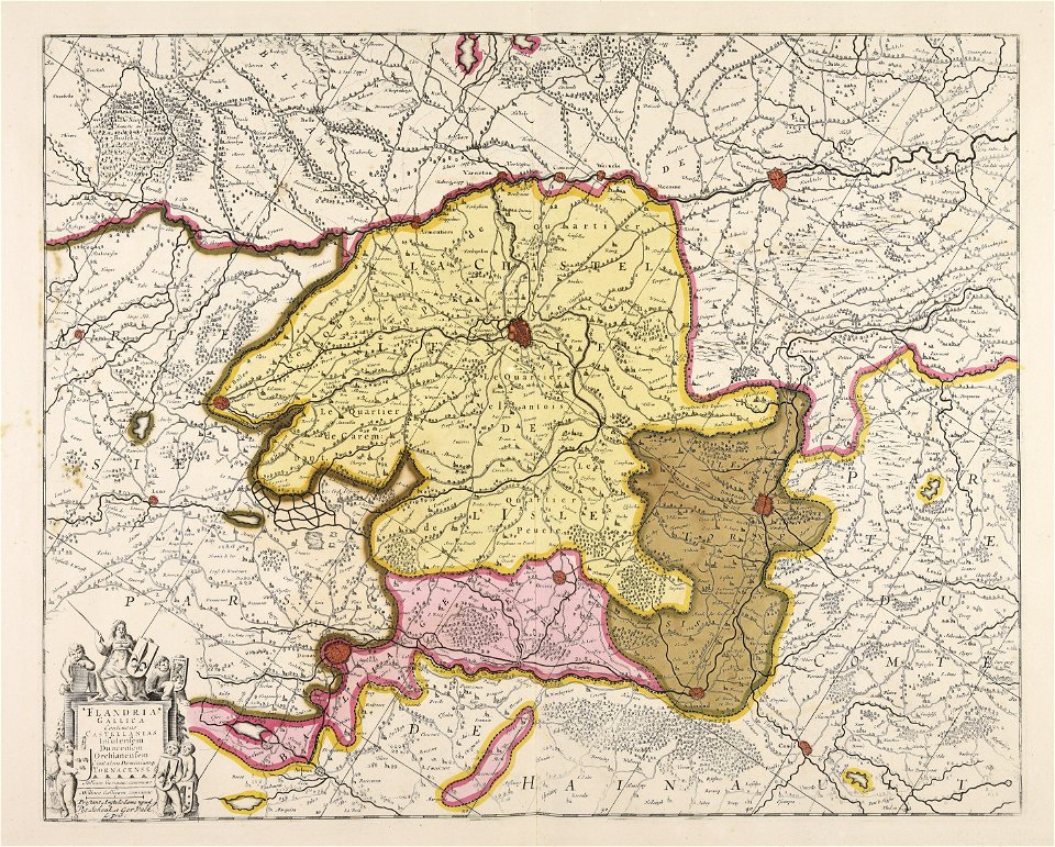
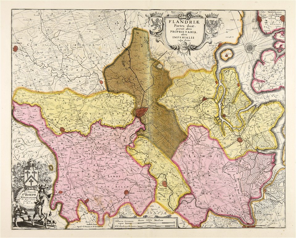
old maps of flanders
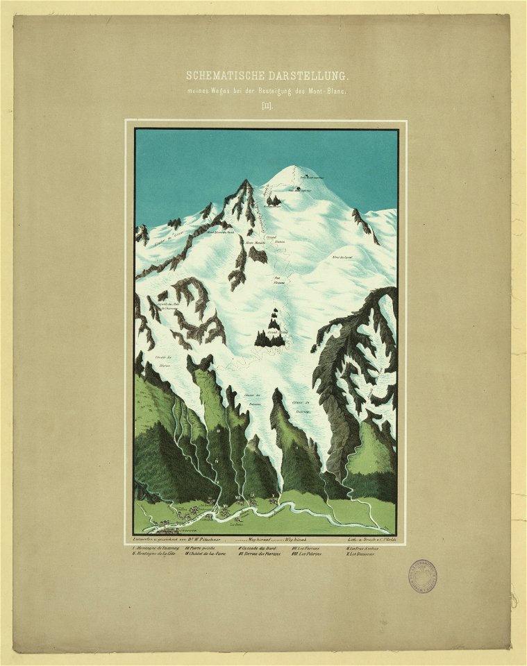
maps of mont blanc
maps of mont blanc
maps of marum
trimunt
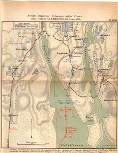
maps of finnish war
19th-century satirical maps
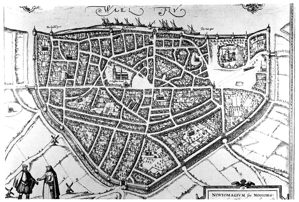
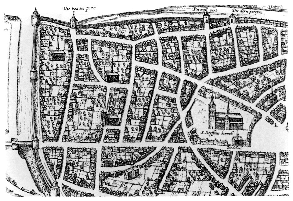
old maps of nijmegen
old maps of nijmegen
old maps of gdańsk
maps by antonio millo
maps by antonio millo
old maps of turin
old maps of twente
old maps of livorno
old maps of livorno
old maps of livorno
old maps of livorno
old maps of livorno
old maps of livorno
maps by antonio millo
19th-century paintings of people with horses
lincoln
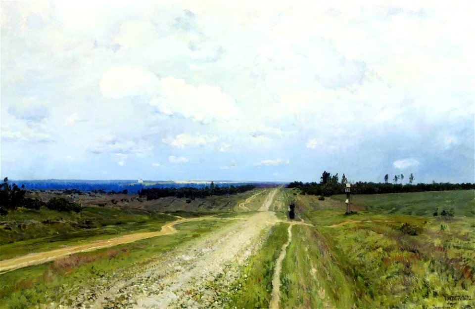
paintings of country roads
roads in art
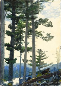
paintings of trees
boston
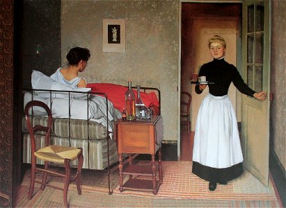
1892 paintings
beds in art
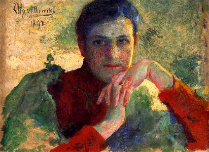
19th-century oil portraits of women at bust length
paintings in the national museum in szczecin
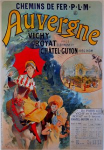
tourism advertisement posters in auvergne-rhône-alpes
jules chéret
afternoon in art
1892 paintings
19th-century paintings of topless women
paintings of babies
standing women in art
female
20th-century portrait paintings of sitting women at full length
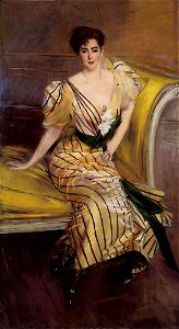
female portraits by giovanni boldini
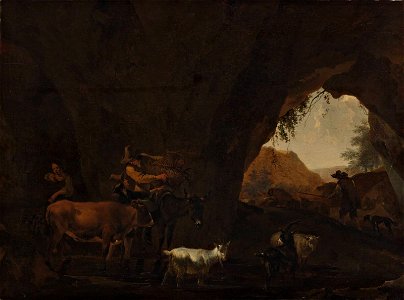
paintings by nicolaes berchem
1892
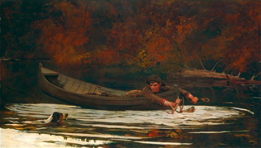
oil paintings by winslow homer
1892 paintings
portrait paintings in the hungarian national gallery
portrait paintings by józsef rippl-rónai
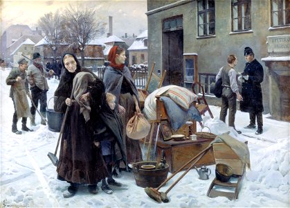
homeless people in art
eviction
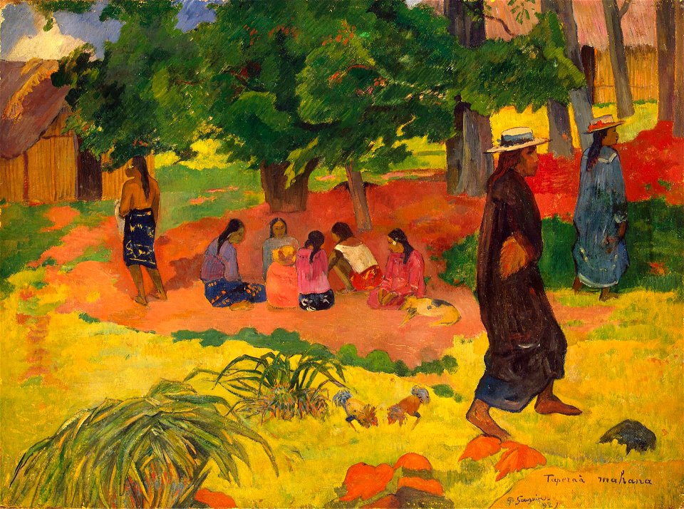
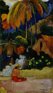
list of paintings by paul gauguin
polynesia by paul gauguin
old maps of new brunswick
old maps of maine
pages with isbn errors
000
maps made in the 17th century
gerard valck
maps made in the 17th century
gerard valck
maps made in the 17th century
gerard valck
maps made in the 17th century
gerard valck
maps in the library of congress
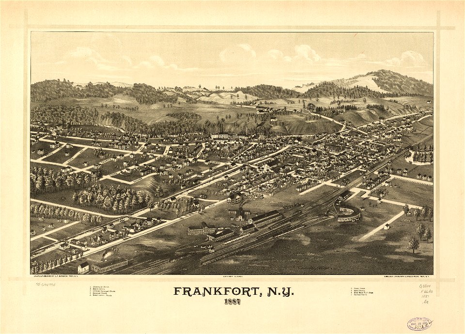
new york
maps made in the 17th century
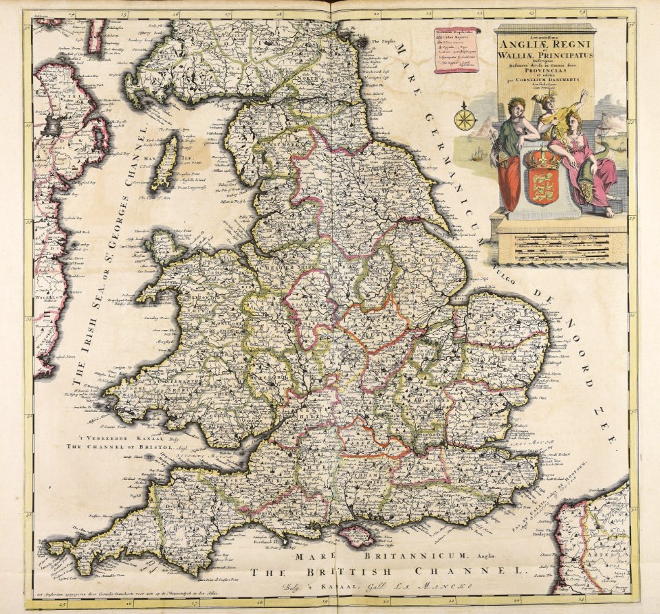
old maps of wales
maps with cartouches
atlas van der hagen
maps with cartouches
atlas van der hagen
atlas van der hagen (volume 4)
maps with cartouches
old maps of the strait of magellan
voyage au pôle sud
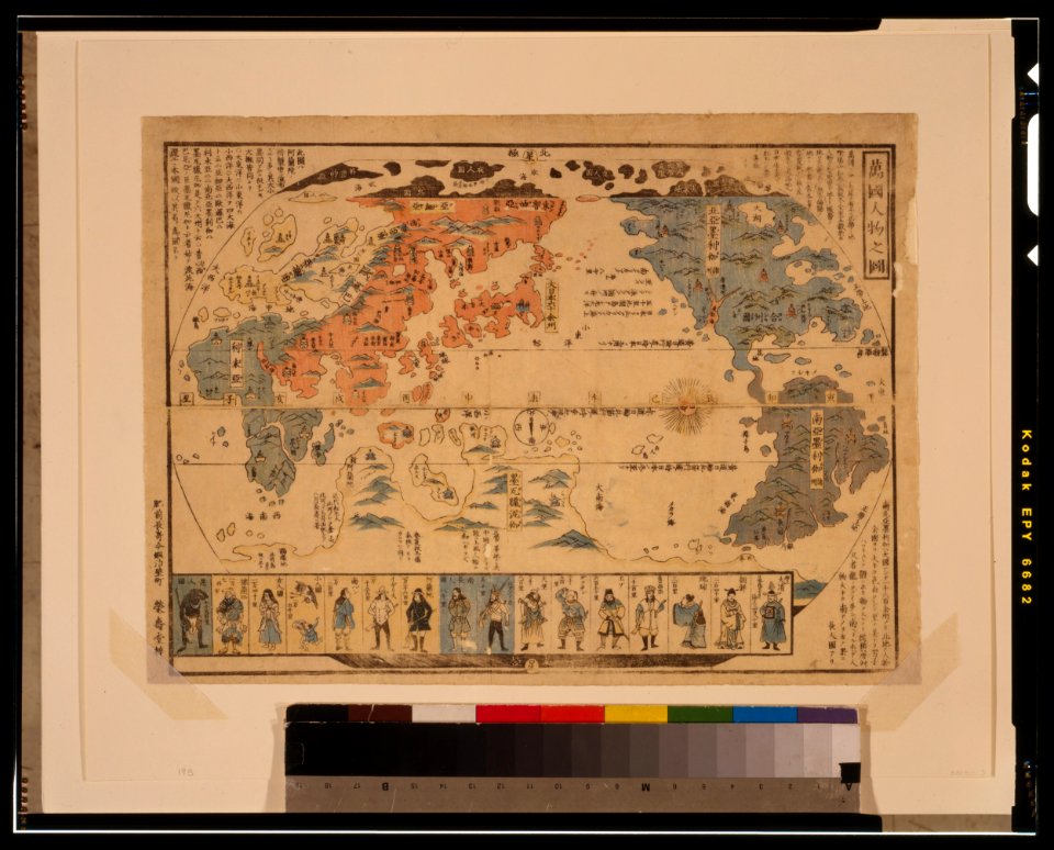
ukiyo-e by unknown artists
1800s maps of the world
maps made in the 17th century
gerard valck
ukiyo-e by unknown artists
1800s maps of the world
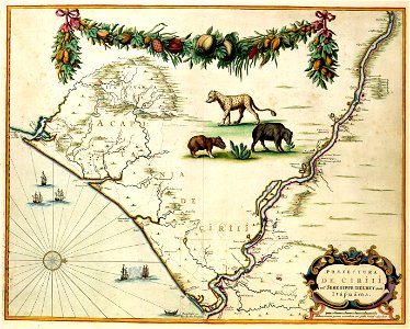
maps of the dutch east india company - korea
1745
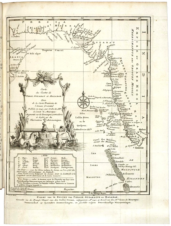
old maps of the dutch east india company
1660s
old maps of the dutch east india company
1747)
18th-century maps of indonesia
1757
maps made in the 17th century
gerard valck
maps made in the 17th century
gerard valck
old maps of silesia
gerard valck
maps made in the 17th century
maps by nicolaes visscher i
old maps of silesia
gerard valck
old maps of silesia
gerard valck
maps made in the 17th century
gerard valck
old maps of silesia
gerard valck
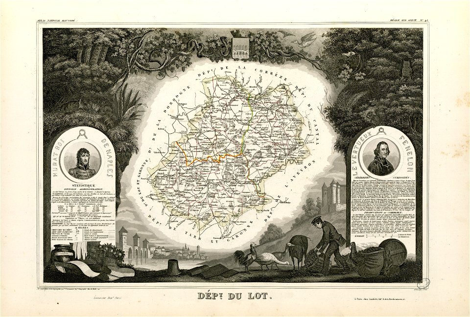
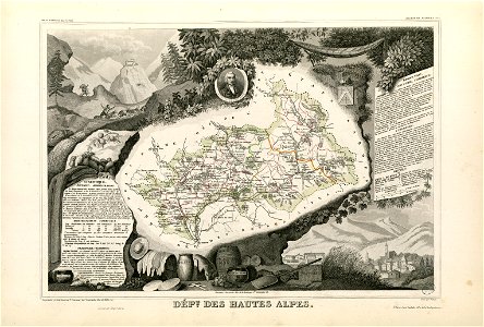
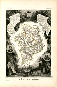
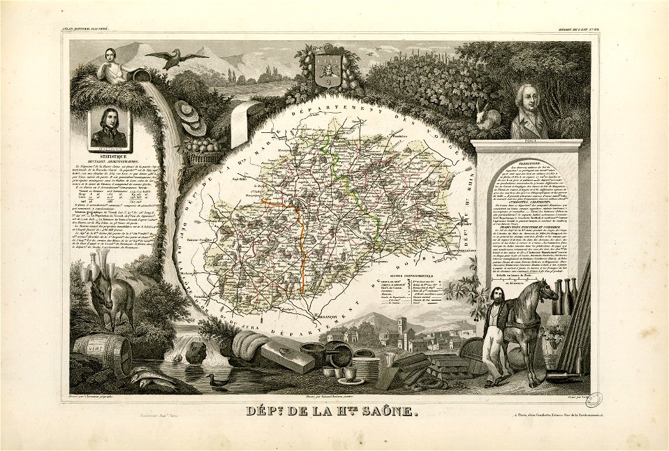
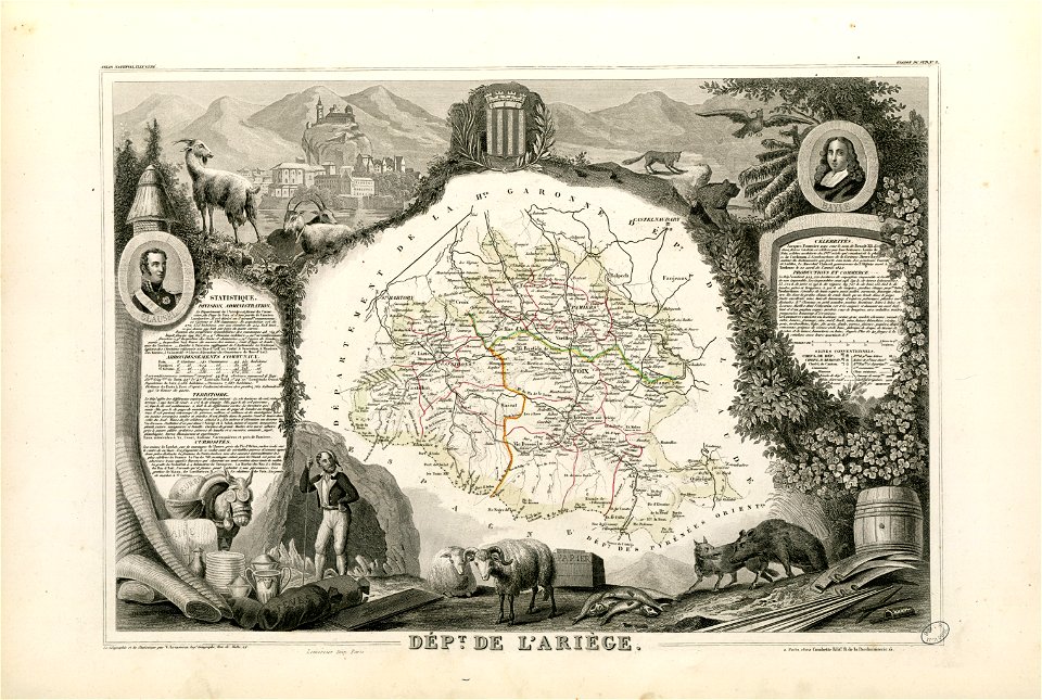
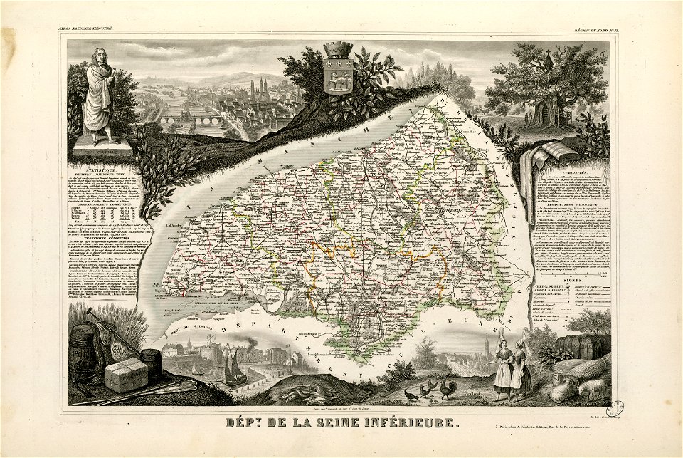
fonds ancely - bibliothèque municipale de toulouse - maps
coats of arms of cities in pyrénées-atlantiques
fonds ancely - bibliothèque municipale de toulouse - maps
joachim murat
fonds ancely - bibliothèque municipale de toulouse - maps
coats of arms of cities in hautes-alpes
fonds ancely - bibliothèque municipale de toulouse - maps
coats of arms of cities in cher
fonds ancely - bibliothèque municipale de toulouse - maps
coats of arms of vesoul
fonds ancely - bibliothèque municipale de toulouse - maps
victor levasseur - maps of france
fonds ancely - bibliothèque municipale de toulouse - maps
coats of arms of rouen
fonds ancely - bibliothèque municipale de toulouse - maps
saint vincent de paul
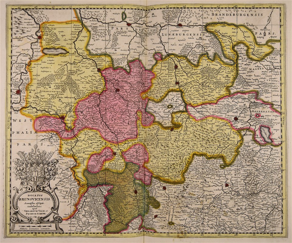
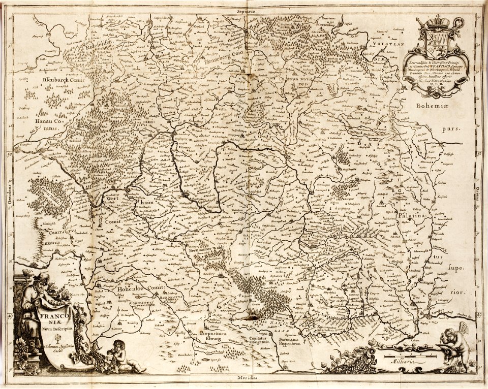
1642 maps of bavaria
franconia
maps made in the 17th century
gerard valck
maps made in the 17th century
gerard valck
maps made in the 17th century
gerard valck
maps made in the 17th century
gerard valck
maps made in the 17th century
gerard valck
maps made in the 17th century
gerard valck
maps made in the 17th century
gerard valck
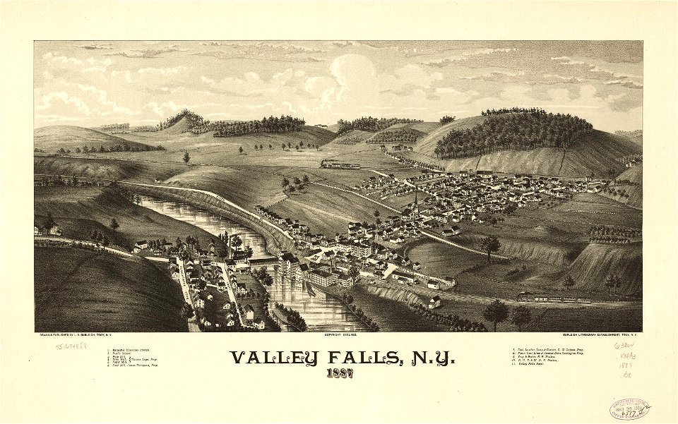
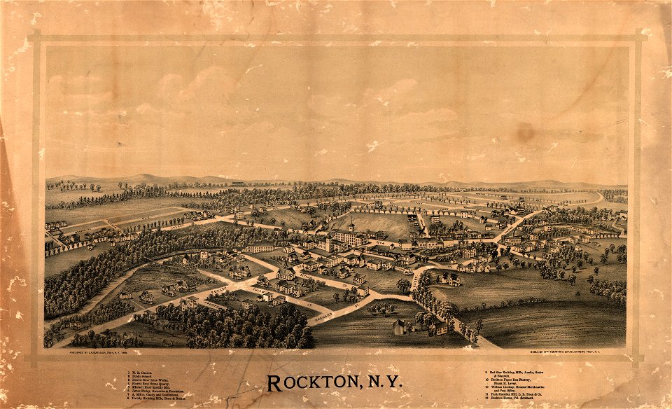
maps in the library of congress
new york
maps in the library of congress
new york
maps made in the 17th century
gerard valck
maps made in the 18th century
maps by pieter schenk (i)
maps made in the 17th century
gerard valck
maps made in the 17th century
gerard valck
birds in art of france
lions in art
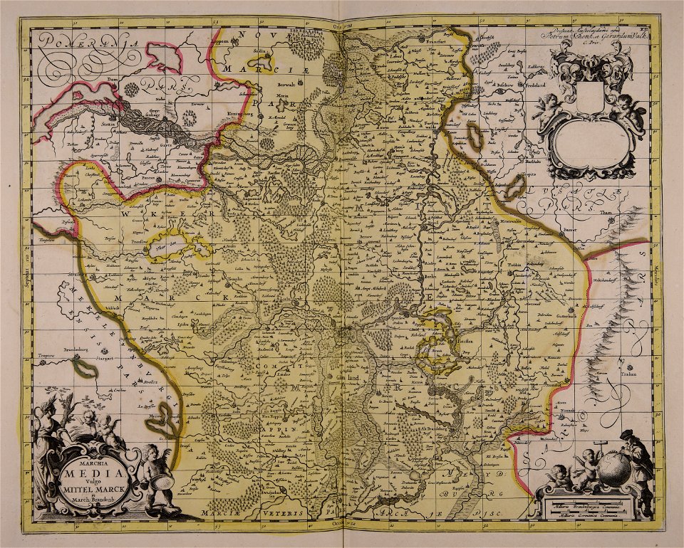
maps made in the 17th century
gerard valck
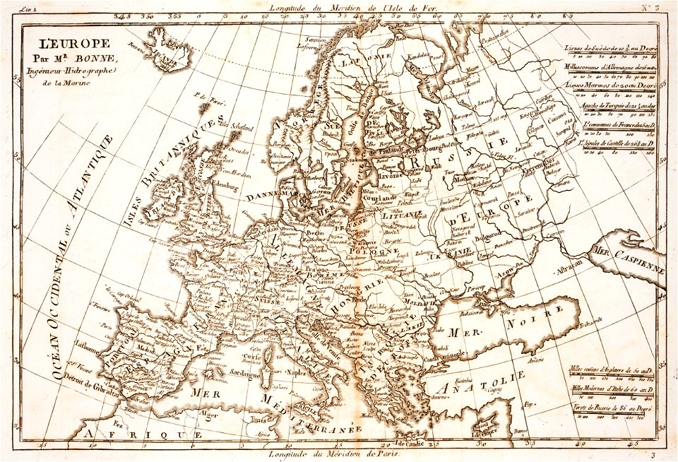
prints from bonne atlas de toutes les parties at the peace palace library
18th-century maps of europe
prints from bonne atlas de toutes les parties at the peace palace library
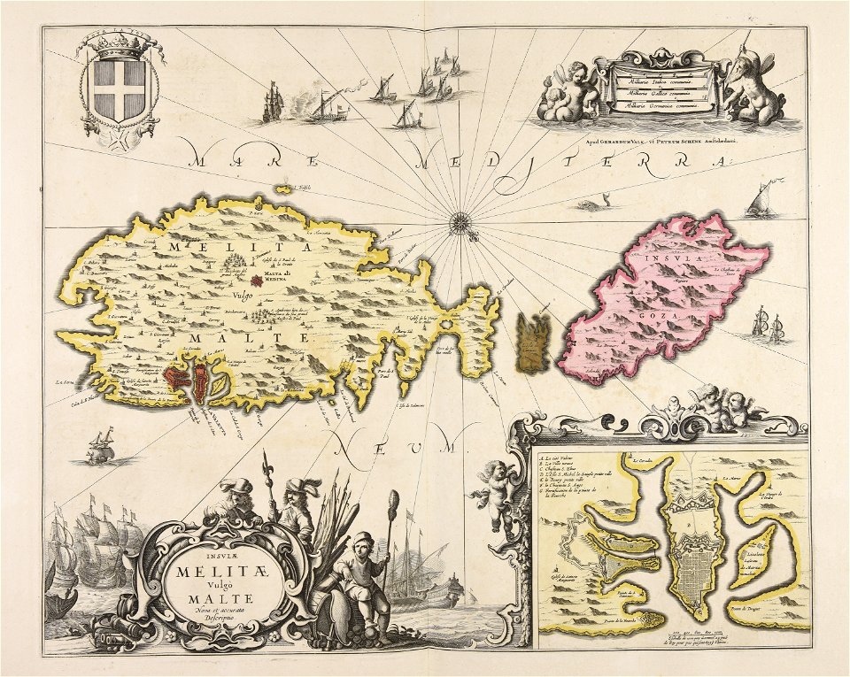
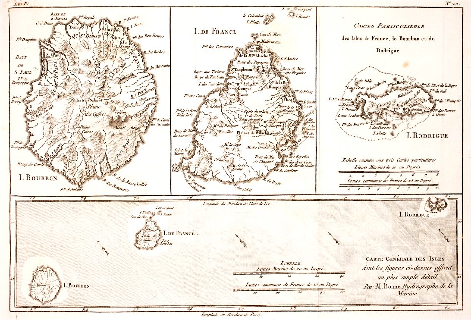
maps of rodrigues island
maps in the library of congress
new york
maps made in the 17th century
gulf of trieste
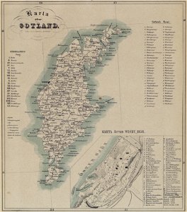
maps of gotland
pehr arvid säve
old maps of the british isles
maps made in the 18th century
maps made in the 17th century
gerard valck
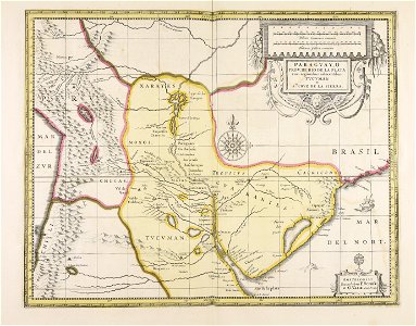
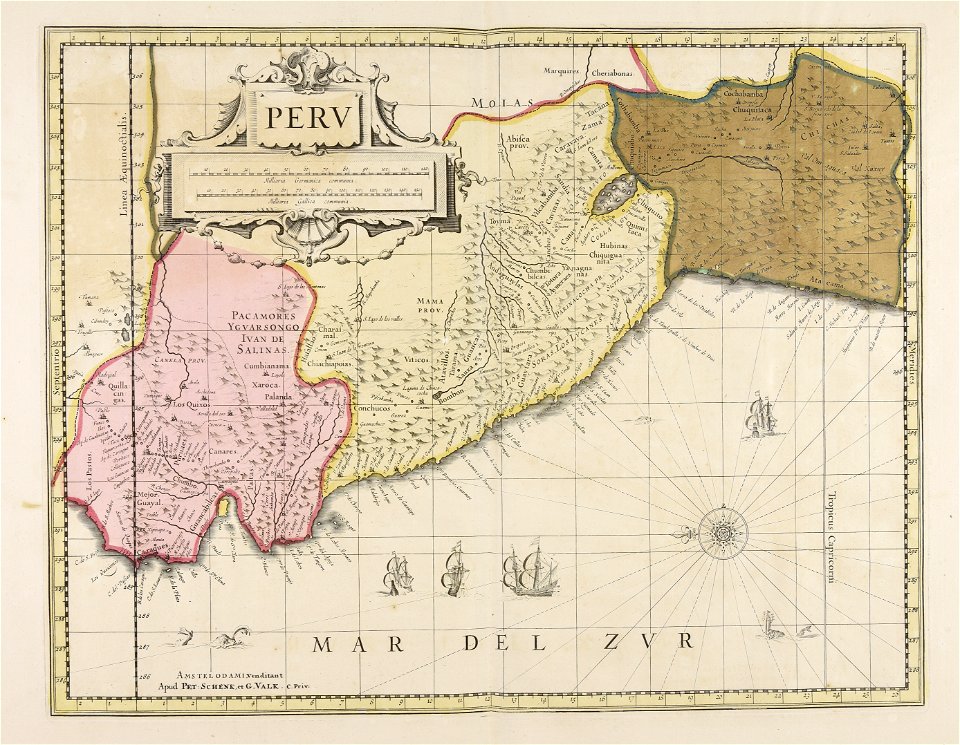
old maps of peru
gerard valck
old maps of silesia
gerard valck
old maps of styria
gerard valck
old maps of nuremberg
gerard valck
maps made in the 17th century
gerard valck
maps made in the 17th century
nicolaes visscher ii
old maps of south africa
boer
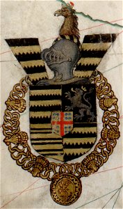
coats of arms of galicia (spain)
holy roman empire
5701 - 5800 of 41,525
Next page
/ 416